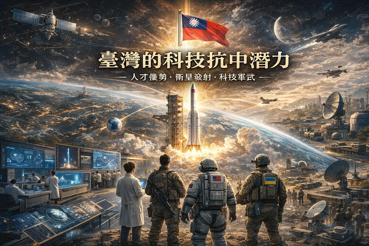
ProfitVision LAB Taiwan Defense Transformation Series · Part 3
This article is independent private research and does not represent the position of any political party, the military, or any government agency. All data is drawn from public sources, listed at the end.
Introduction: An Overlooked List of Strategic Assets
In Taiwan's defense discourse, almost no one mentions: National Central University's Center for Space and Remote Sensing Research is receiving satellite imagery that includes synthetic aperture radar (SAR) data; graduate students at National Yang Ming Chiao Tung University's Institute of Space Systems Engineering are interning at TASA and the National Chung-Shan Institute of Science and Technology (NCSIST); and TASA is developing SAR satellites for launch in 2028–2030 with resolution finer than 1 meter.
Taiwan has a space-knowledge ecosystem spread across universities in Hsinchu, Taoyuan, Tainan, and Taipei. If effectively integrated into the defense system, it could dramatically boost Taiwan's intelligence and situational-awareness capability at an extremely low marginal cost — this is Taiwan's most underrated asymmetric advantage.
Chapter 1: Why "Space" Is Taiwan's Fifth Battlefield
🔴 Three Warning Lights in Taiwan's Space Defense
Intelligence blind spot: total reliance on US satellite intelligence
Taiwan has no independent satellite reconnaissance capability. If the US delays intelligence sharing for political reasons, Taiwan's missile-strike accuracy would drop sharply. Cloud cover in the Taiwan Strait exceeds 70% in autumn and winter, rendering optical reconnaissance nearly useless.
Communications fragility: ground infrastructure is a priority strike target
Taiwan's military communications rely primarily on ground-based fiber and microwave relay towers, all high-priority targets in the early stages of a conflict. Backup satellite-communication capacity is severely insufficient.
GPS jamming threat: risk to precision-missile hit rates
The PLA has repeatedly used GPS jamming equipment during exercises. The GPS environment around Taiwan's waters could degrade severely during a crisis, directly affecting precision-missile hit rates.
Taiwan's existing space academic ecosystem is capable of providing at least a partial solution to each of these three weaknesses.
Chapter 2: TASA — The Commanding Height of Taiwan's Space Capability
FormoSat-9: The Most Important Upcoming Dual-Use Asset
🛰️
FormoSat-9 Specifications
2 X-band SAR satellites
Best resolution ≤ 1 meter
Max swath width >50 km
Orbital altitude 514 km
Expected launch: 2028 / 2030
⚓
Ground Surveillance & Port Early Warning
1-meter resolution can clearly distinguish a Type 075 amphibious assault ship (40,000 tons) from a Type 071 landing ship (20,000 tons). SAR penetrates cloud cover, imaging continuously even under 70% cloud coverage over the Taiwan Strait.
🌊
Anti-Submarine Reconnaissance Support
SAR can detect the tiny sea-surface elevation differences left by a submerged submarine's wake (Kelvin wake) as well as the radar reflection signature of a communications antenna briefly surfacing.
📡
Mobilization-Precursor Detection
A surge in vessels docked at port, civilian ships being cleared to make way for military vessels, heavy equipment moving toward ports — all such mobilization precursors can be detected through regular pass imaging.
Chapter 3: The University System for Taiwan Space Ecosystem — An Integration Framework That Already Exists
NCU
National Central UniversityStrongest Intelligence-Analysis Cluster
Center for Space and Remote Sensing Research (SAR imagery reception and analysis) + Department of Atmospheric Sciences Space Group (ionosphere/space weather) + Department of Space Science and Engineering (satellite design) + CubeSat Lab. The Center's accumulated SAR image-analysis capability makes it the candidate institution closest to being immediately deployable for military target identification.
NYCU
National Yang Ming Chiao Tung UniversityClosest Engineering Hub to TASA
Institute of Space Systems Engineering, with students interning at TASA and NCSIST during their studies. It has already established the shortest institutional distance from "civilian technology" to "military application" — only the last mile of policy design is missing.
NTHU
National Tsing Hua UniversityCommunications Security Capability
The College of Electrical Engineering and Computer Science's research in information security and cryptography is world-class within Taiwan. Encryption protection for low-earth-orbit satellite communication links, frequency-hopping anti-jamming technology — capabilities critical to wartime communications security — are all present at NTHU.
NCKU
National Cheng Kung UniversityAlready Has Ministry of Defense Institutional Ties
Long-term Ministry of National Defense aerospace-program funding and deep industry-academia collaboration with AIDC (Aerospace Industrial Development Corporation). The only one of the four universities with a formal civil-military integration channel already in place — a template that could be extended to the other schools.
Chapter 4: Institutional Integration Design
Three Gaps in the Current Integration
✅ Already exists: The University System for Taiwan cross-institution space credit program
NCU, NYCU, and NTHU, together with TASA, have established a cross-institution talent-development framework covering the full knowledge chain of rocket design, satellite engineering, and remote-sensing applications.
✅ Already exists: the NYCU ↔ TASA ↔ NCSIST internship pipeline
Students are exposed to dual-use space engineering training while still enrolled — the infrastructure for technology transfer is already in place.
❌ Gap 1: Academia-to-defense classification clearance link
Academic researchers cannot access military intelligence and cannot directly apply academic findings to defense use — the two systems remain institutionally completely separate.
❌ Gap 2: The interface between space intelligence and missile-strike integration
Even if Taiwan's own SAR satellite spots an anomaly at Xiamen port, there is currently no institutionalized pathway to convert that intelligence in real time into a missile-strike order. This "pixel to missile" interface design is currently the biggest institutional void.
❌ Gap 3: Automatic failover from wartime communications to backup satellites
After ground communications are severed, there is currently no institutionalized mechanism for automatic failover to backup low-earth-orbit satellites. Communications disruption is nearly certain in the early stages of a conflict, but the contingency plan is not yet mature.
Integration Framework Design: Three Layers
Peacetime Layer
Outsourced intelligence analysis: NCU's remote-sensing center takes on National Security Bureau-commissioned SAR image analysis
No classification clearance is required — cooperation begins through a "non-sensitive intelligence analysis" contract. NCU's AI image-analysis capability can serve as an analysis partner for commercial geospatial intelligence (GEOINT), building up interpretation capability and a talent pool.
Connection Layer
Space Intelligence Fusion Center: a standing cross-ministry body
Establish a standing "Civil-Military Space Intelligence Fusion Center," with formal members including: TASA representatives, National Security Bureau representatives, Ministry of National Defense Military Intelligence Bureau representatives, and liaisons from each university's space research center. Responsible for setting the standardized process from satellite imagery to finished intelligence products.
Wartime Layer
Backup-communications activation protocol: automatic integration with TASA's low-earth-orbit satellites
Pre-deploy satellite ground stations at distributed sites; when ground communications are cut off after conflict begins, the military command system automatically switches to TASA's low-earth-orbit satellite communications. This requires completing hardware and software integration testing in peacetime — it cannot be improvised once war has started.
Chapter 5: What a Taiwan Version of Israel's Unit 8200 Model Could Look Like
Israel's Unit 8200 (Israel's version of the NSA) recruits hundreds of top technical talents each year from Israel's leading STEM universities, carries out real intelligence operations during their service, and produces the core talent pool for Israel's tech industry after discharge — the founders of Check Point, CyberArk, and WalkMe all came from Unit 8200.
The design logic for a Taiwan version: rather than having top graduates from space-engineering programs complete two years of "ineffective mandatory service," have them serve at TASA or NCU's remote-sensing center performing real dual-use intelligence-analysis missions. After completing their service, this group becomes an ongoing contributor to Taiwan's space-intelligence capability, rather than two wasted years.
Chapter 7: A Civil-Military Space Intelligence Fusion Center — A Concrete Proposal
📋 Proposal for Establishing a Civil-Military Space Intelligence Fusion Center
1
Authorization basis: the Executive Yuan approves a "Space Intelligence Civilian Cooperation Program," requiring no new legislation. Funding source: reallocation of the National Security Bureau's existing budget, requiring no new budget line item.
2
Year one mission: NCU's remote-sensing center takes on "commercial SAR image analysis" contracts and establishes a standard operating procedure (SOP) for interpretation; simultaneously, NYCU designs military communications encryption protocols for TASA's low-earth-orbit satellites.
3
Year two mission: launch a pilot "Space Intelligence Mandatory Service" program, selecting top graduates from electrical-engineering, computer-science, and space-engineering programs to serve at TASA or the remote-sensing center performing real intelligence-analysis missions.
4
Before FormoSat-9's launch (2027): complete the full institutional process design "from satellite imagery to strike order," ensuring that once the satellites reach orbit in 2028, the intelligence capability delivers military value immediately, rather than waiting for institutions to catch up to technology.
Conclusion: Taiwan's Cheapest Asymmetric Advantage
If Taiwan builds the institutional process from satellite imagery to strike decision before its SAR satellites reach orbit, then on the day FormoSat-9 launches in 2028, Taiwan's space-intelligence capability will see a step-change leap. If institutional design is still standing still, then 2028 will just be another beautiful satellite reaching orbit — not a qualitative shift in defense capability.
Institutional design should precede technology deployment. This isn't unique to space — it's a chronic ailment across all of Taiwan's defense-transformation programs.
Data Sources and References
- TASA official website: FormoSat-9 program page (accessed 2025)
- Taiwan News (June 2025): "Taiwan's FormoSat-9 SAR satellites and military dual-use potential"
- NYCU Department of Mechanical Engineering (2022): Space Technology and Engineering Credit Program overview
- NCU DSSE official website: Department of Space Science and Engineering overview
- Taiwan Space Union (October 2025): Space Program Phase 3.2 overview
- Economic Daily News (May 2024): "TASA Director Wu Tsung-hsin: B5G low-earth-orbit communication satellite to launch in 2026"
Next in this series: "Better to Blockade the East China Sea with 500 Than Die Defending with 3,000: Resetting the Fundamentals of the Kinmen–Matsu Strategy"
ProfitVision LAB | US Options × Deep Research × AI Investing